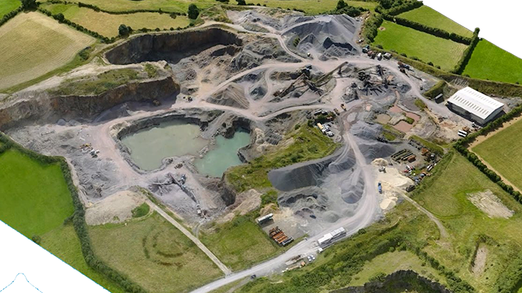
Open pit mines & Quarries
Accurate digital surface models for volumetric assessments and quantity surveys of open topped mines and quarries.
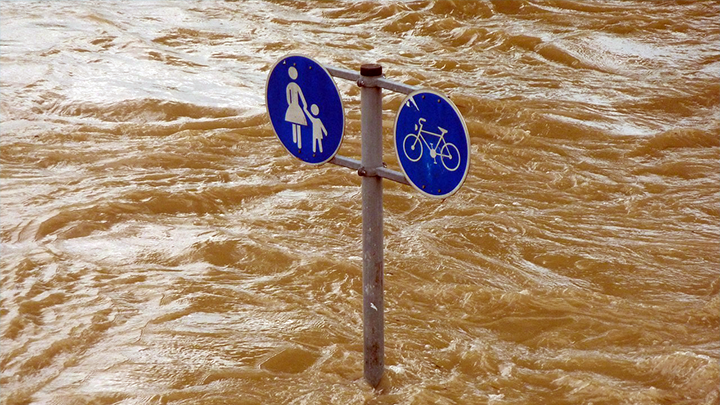
Storm & Flood Response
Rapid response capability has lent itself as the ideal survey tool for impact assessment, such as storm damage to inaccessible areas.
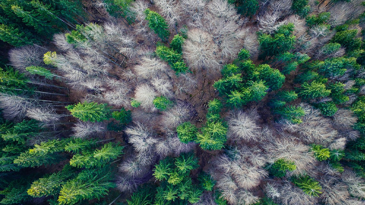
Environmental Mapping
Non-intrusive near real time imagery for forest inventory, vegetation management and other types of environmental monitoring.
Aerial images of the site enable regular visual assessment of the state of haul roads as well. This provides valuable data such as length, slope and turning angles. With this information, you can optimize roads for your haul fleet by accounting for the specifications that cut fuel costs while ensuring that your mine is within planning and regulatory requirements. In general, UAV data helps ensure that roads are built to design and that they meet current legal standards.
Since stockpiles are by nature irregular in shape and exhibiting craters, it is difficult to estimate their volume with great precision using traditional methods such as GNSS surveying. These slow and costly methods also prohibit frequent surveys and can even threaten the surveyor’s safety, as they must climb up and down stockpiles and/or work in the middle of moving machinery.
Using the Point Cloud, we produce the 3D Textured Mesh, a surface composed of triangles. It is an accurate reflection of the area’s edges, faces, vertices, and texture captured by the drone and diminishes the gap among points on the point cloud and the surface. This visual depiction is most useful for inspecting unreachable areas.
An Orthomosaic is an extensive map-like image acquired from geometrically correcting an aerial photograph. These revisions include lens distortion, camera tilt, perspective, and topographic relief. Each pixel on the image comprises 2D and 3D geo-information (X, Y) and is capable of immediately obtaining precise measurements. Orthomosaic maps enable us to measure the area, volume, and distance of projects accurately.
DTM –
We provide regular three-dimensional DTM datasets by classifying and filtering vegetation, man-made and other above ground features. A true representation of the bare earth surface is depicted once non-ground points are removed from the dataset. Filtered DTM can be delivered in LAS, xyz, dxf, dwg, csv or any other client requested format.
DSM –
Digital Surface Models are georeferenced regular grid datasets representing the first reflected surface detected by the sensor and will include surface features such as vegetation and man-made objects.
DEM –
Digital Elevation Model (DEM) is a raster image that holds z values, it is used widely during the analysis process where surface height value are important.