GIS Services
Enhance The Value of Geospatial Data
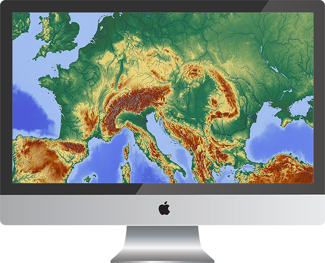
Geographic information system
Spatial Service
Virtuematic emerged as a legate of spatial information services. We reach out to various multi-disciplinary organizations from government to corporates for various geospatial services from creating spatial data to maps.
Consult Virtuematic to pave a systematic way from just data to valuable information. We provide a clear picture to your perspective and provide a proper framework to all stages of spatial information- from data acquisition, data creation to map making and various other services
Cartography
Cartography is an integral part of Geographic Information System. Virtuematic provide end to end cartographic services, from concept to delivery in the most cost-effective means. From high end data creation to data delivery in a dedicated timeframe, our team creates maps which you envision! For more details contact us.
GIS Application Development
Open Data, Open Specifications and Open Source
All our plans integrate with popular open source software like QGIS and GDAL. Our base layers are based on open datasets like OpenStreetMap. Virtuematic supports specifications from the Open Geospatial Consortium (OGC) Online GIS is an interactive tool which provides access to regional maps, geographically referenced property information, and other geographic data. It allows users to navigate and create their own maps of property information, aerial photos and other GIS information. Create web mapping applications that make it easy for stakeholders to access authoritative geographic information
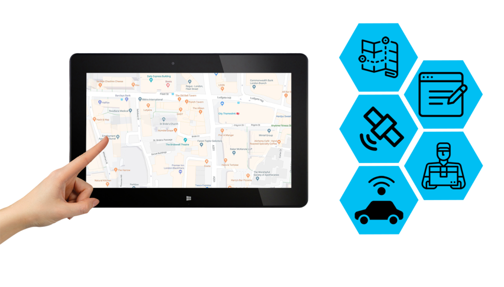
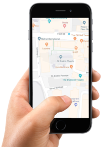
Mobile GIS
Mobile GIS provides a mobile outdoor operation platform for field surveyors to collect, modify and measure the spatial data in an easy and effective way. Mobile GIS cover a larger area of operating systems including iOS, Windows, and Android in both mobiles and Tablets. Using a Mobile GIS solution on iOS, Windows and Android platforms user can view, collect and update the geographic information.
Android is open source and World’s most widely used smartphone platform; we can explore the maps, open and view the map content and can also develop GIS-enabled applications for Android devices because of it’s a low-cost operating system for high tech devices.